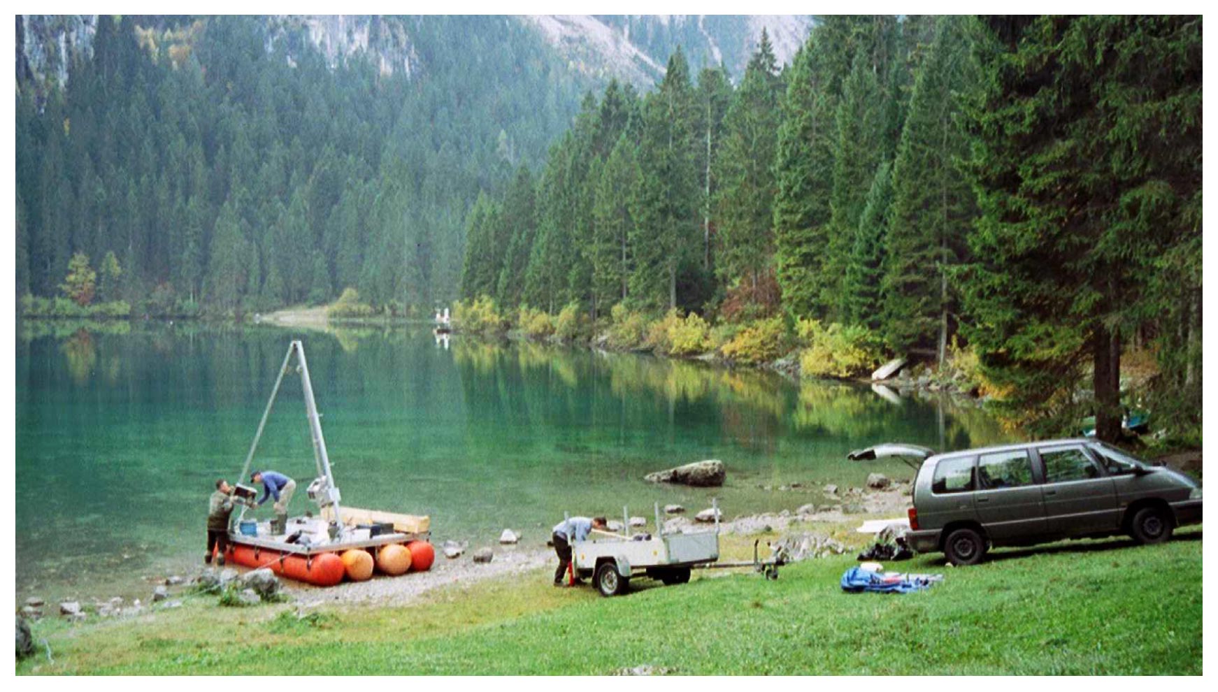
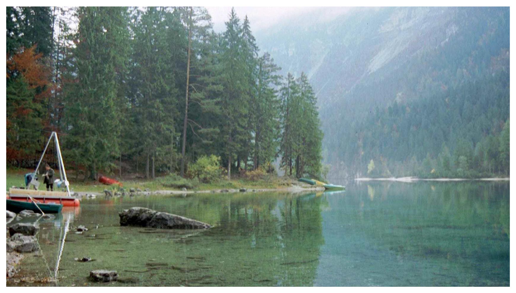
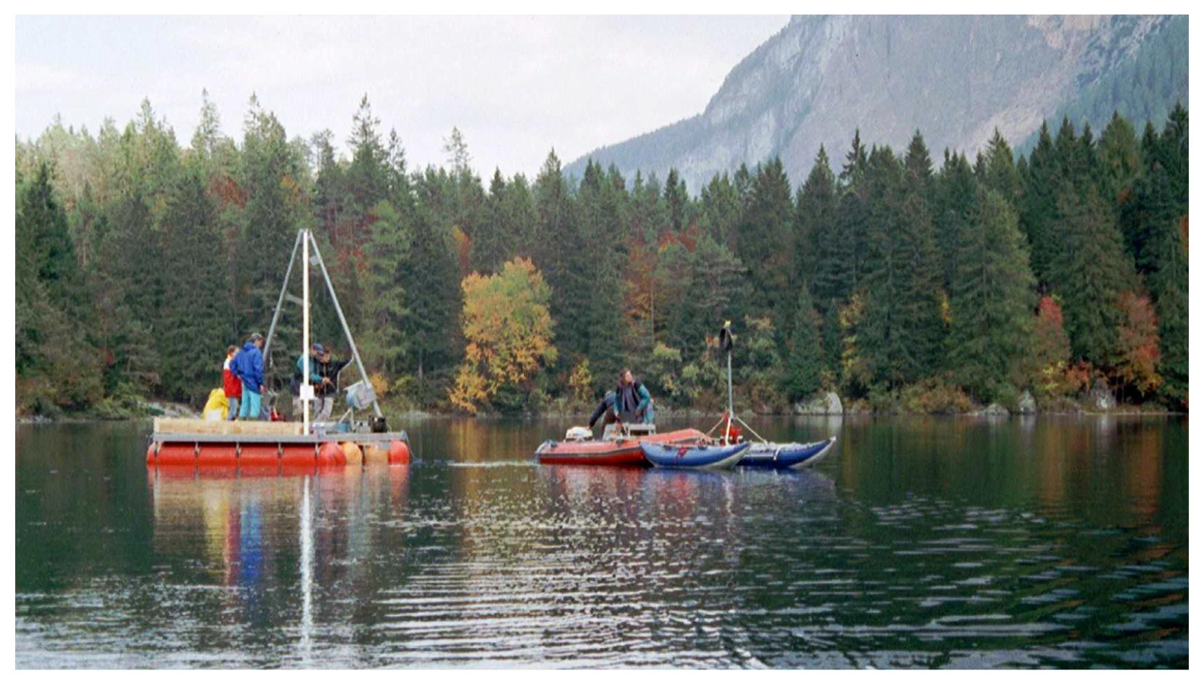
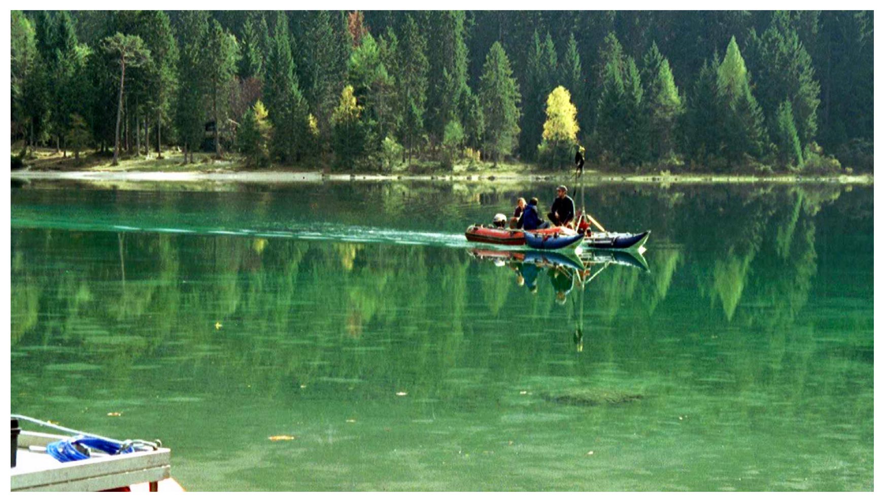
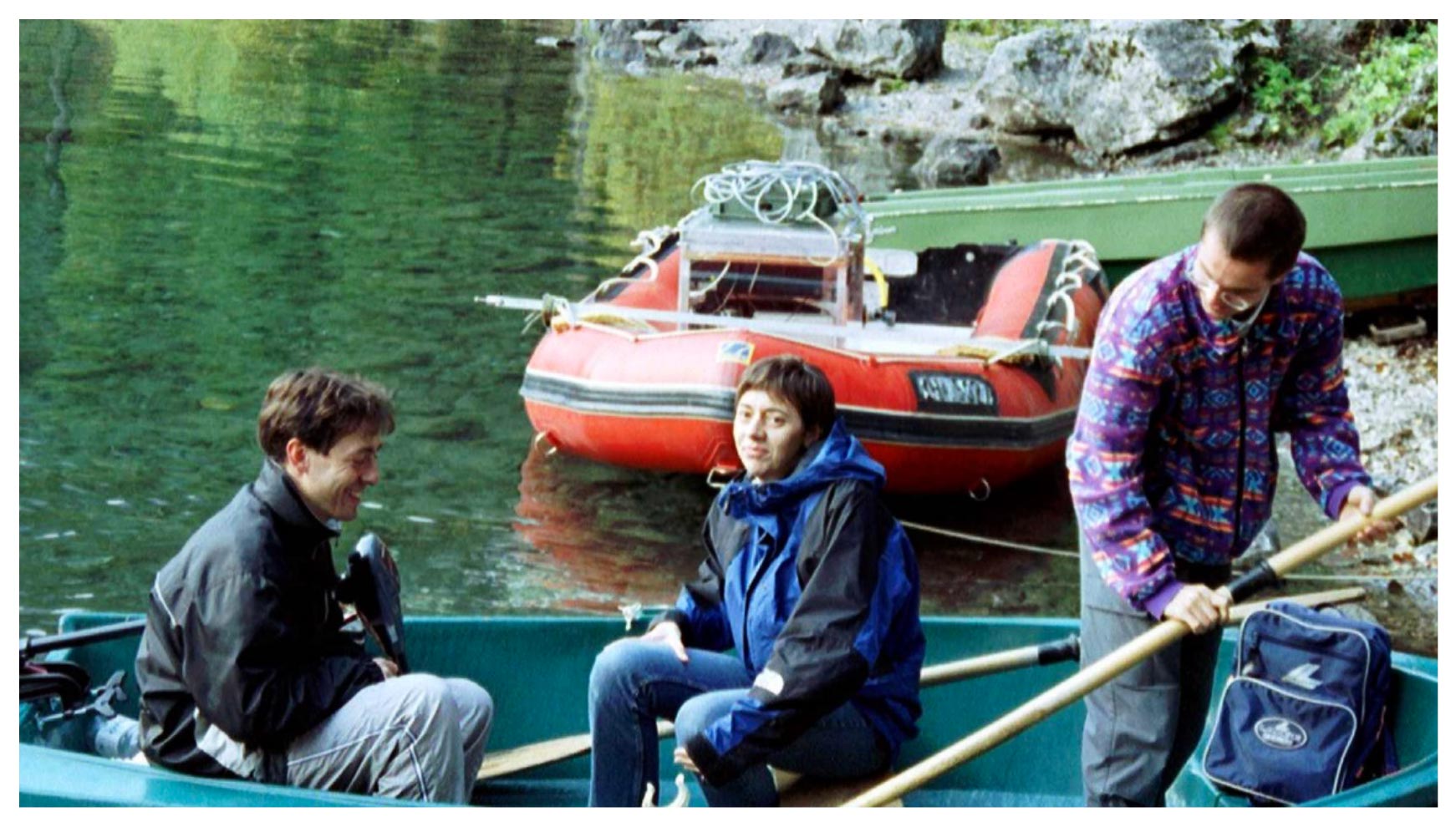
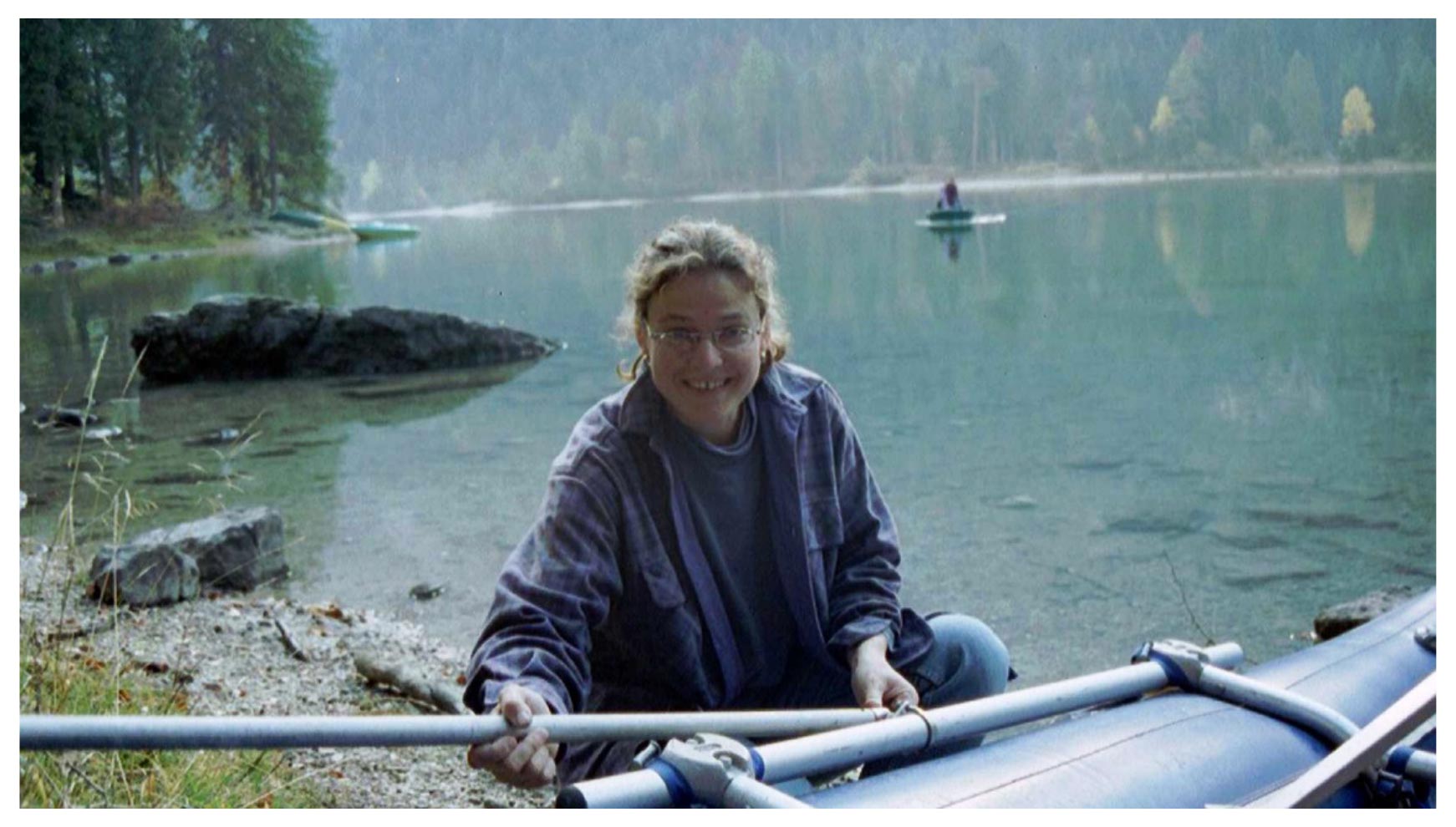
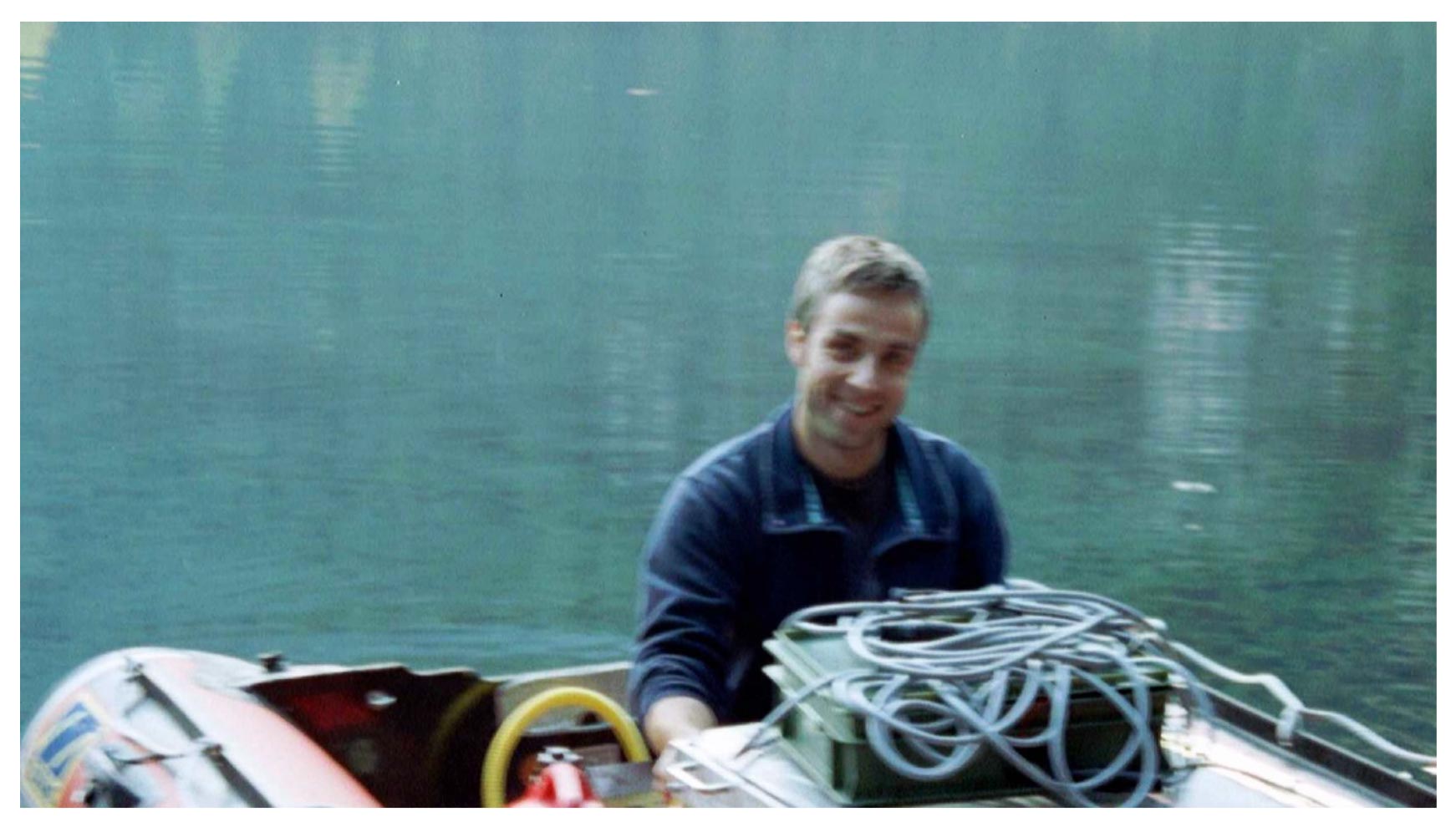
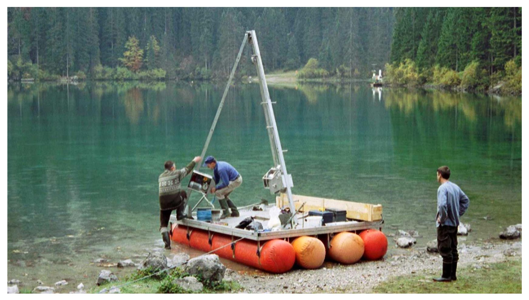
The images show the assembly phases of the platform and of the piston and gravity corers. The inflatable boat and the instrument used for high resolution seismic survey are also visible.
What Tovel's sediments tell us
Lake Tovel
The Italian Team
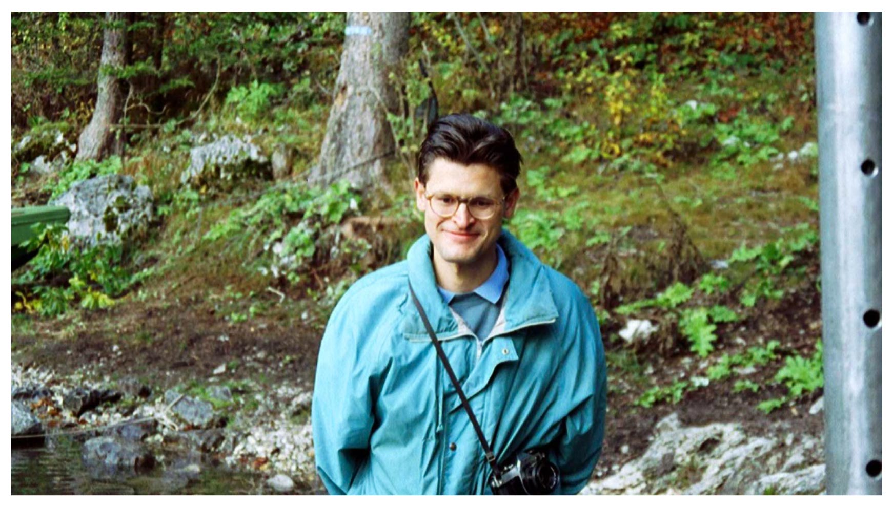
Marco Cantonati
Piero Guilizzoni
Massimiliano Tardio (first man left on the boat)
Andrea Lami
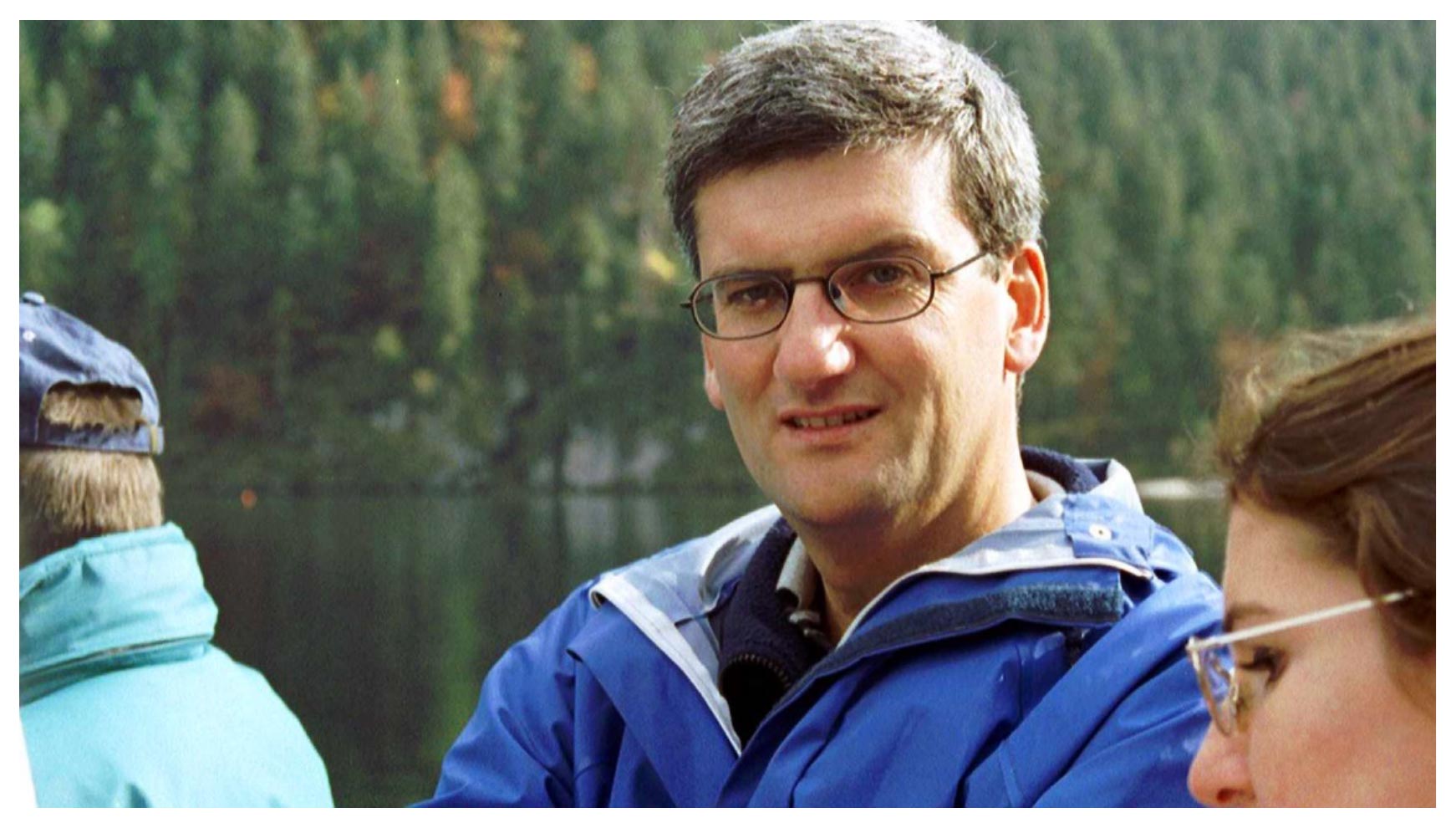
Some of the researchers involved in the collection of sediment cores and water samples.
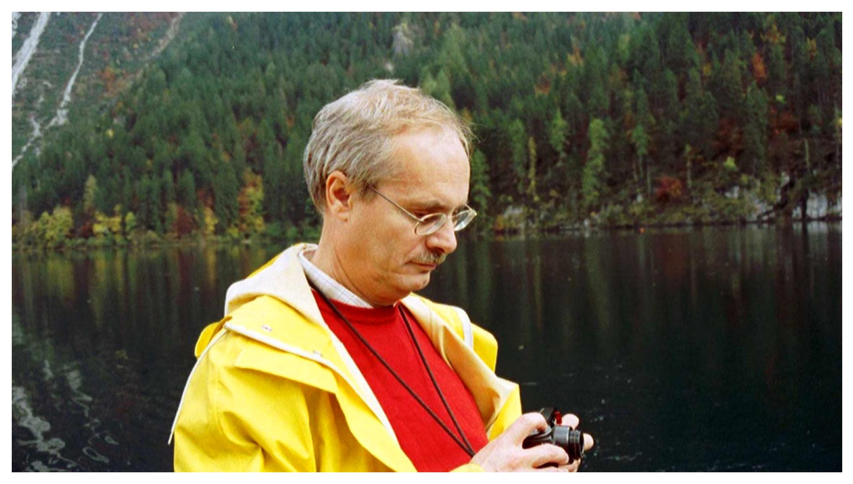
The Swiss and Austrian Team
Flavio Anselmetti
Colleagues from the Swiss Federal Institute of Environmental Science and Technology (EAWAG) from Dübendorf, CH, and colleagues from UWITEC, Mondsee (Austria).
High resolution seismic survey with a 3.5 kHz pulse source
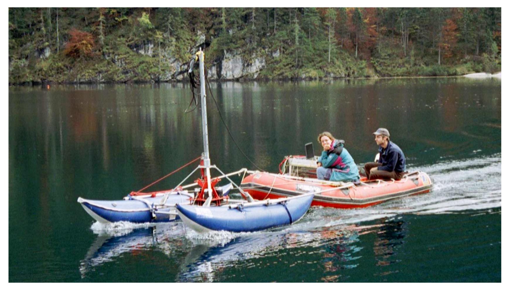
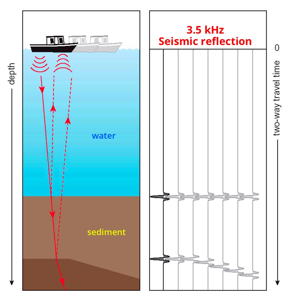
In order to obtain information on the morphology of the lake and the thickness of the unconsolidated sediments, in addition to establishing the most suitable sampling sites, a detailed mapping of the lake was carried out by means of a seismic survey. A dinghy (inflatable boat) was then used, which pulled a catamaran on which the source of impulses was placed.
Bathymetry
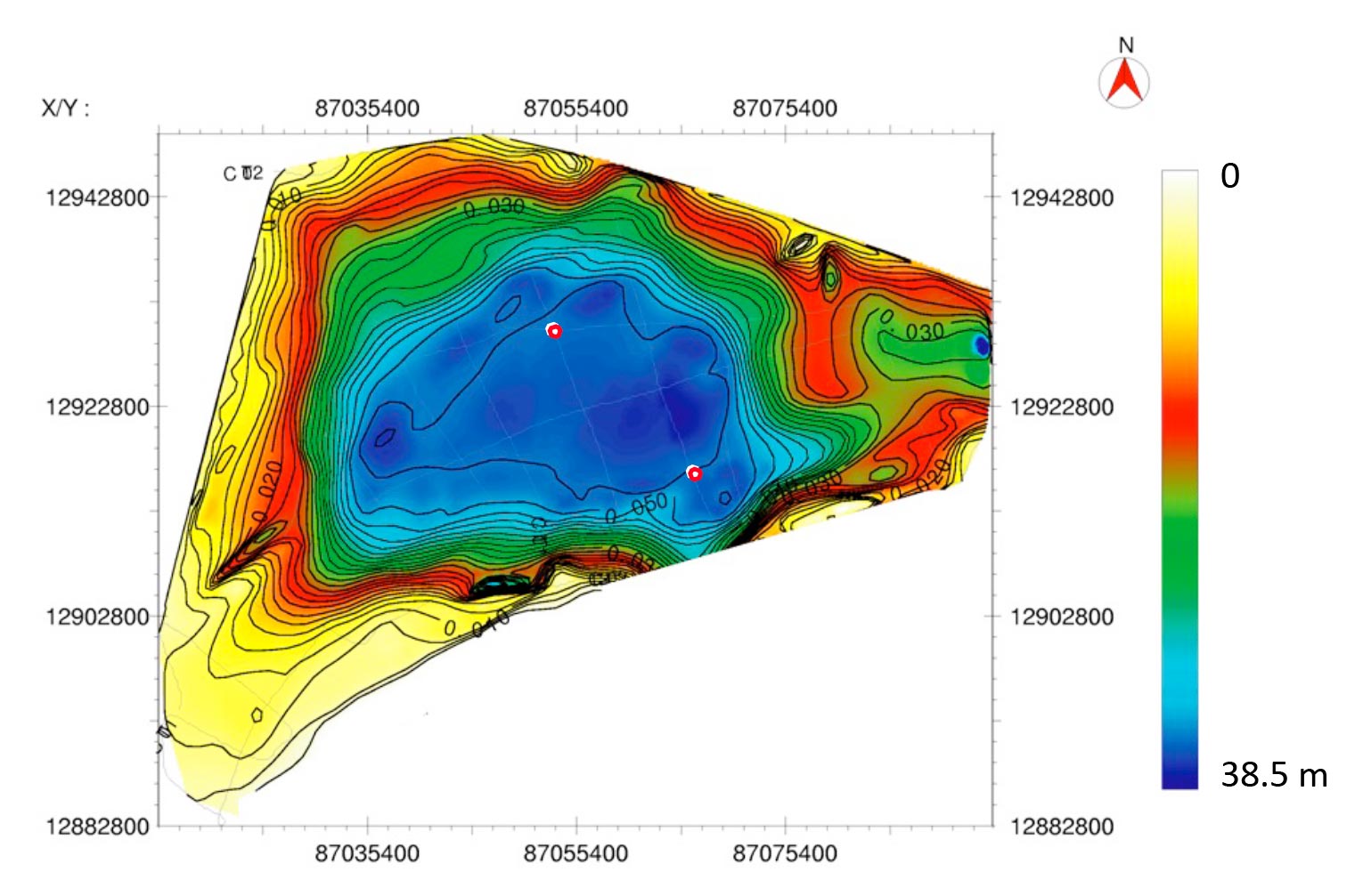
Kulbe et al. 2004
Detailed bathymetry of Lake Tovel obtained by seismic survey.
Sediment sampling from the platform
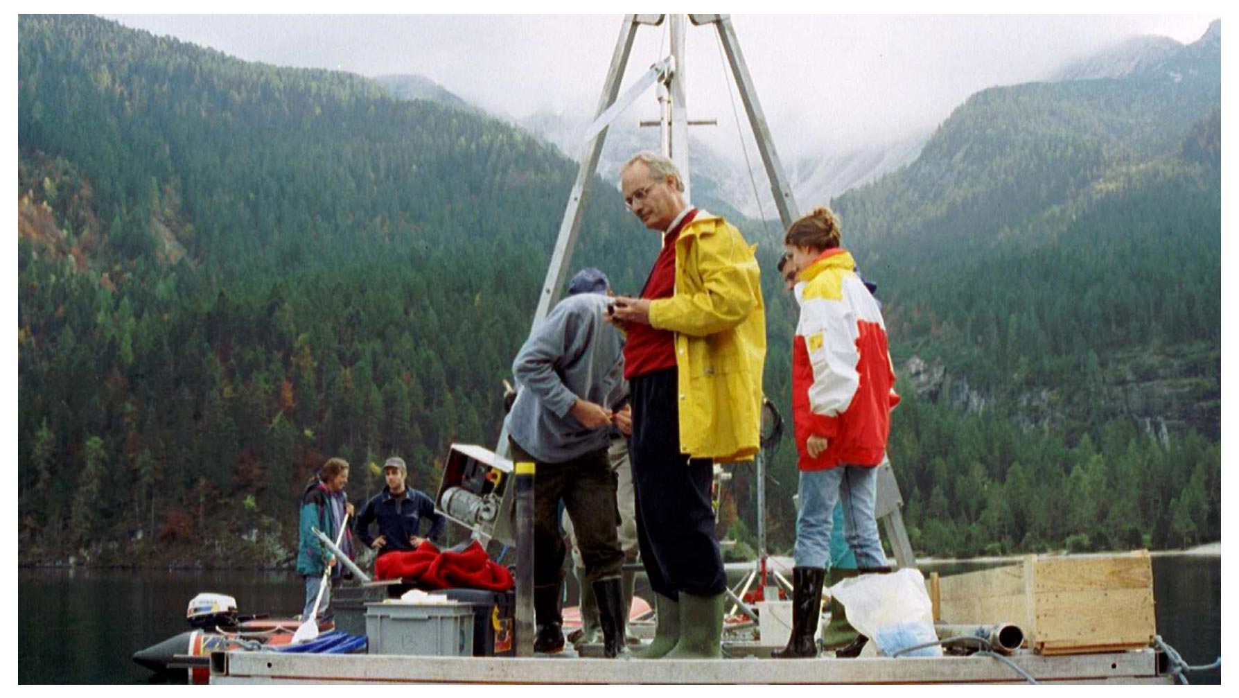
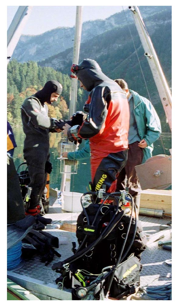
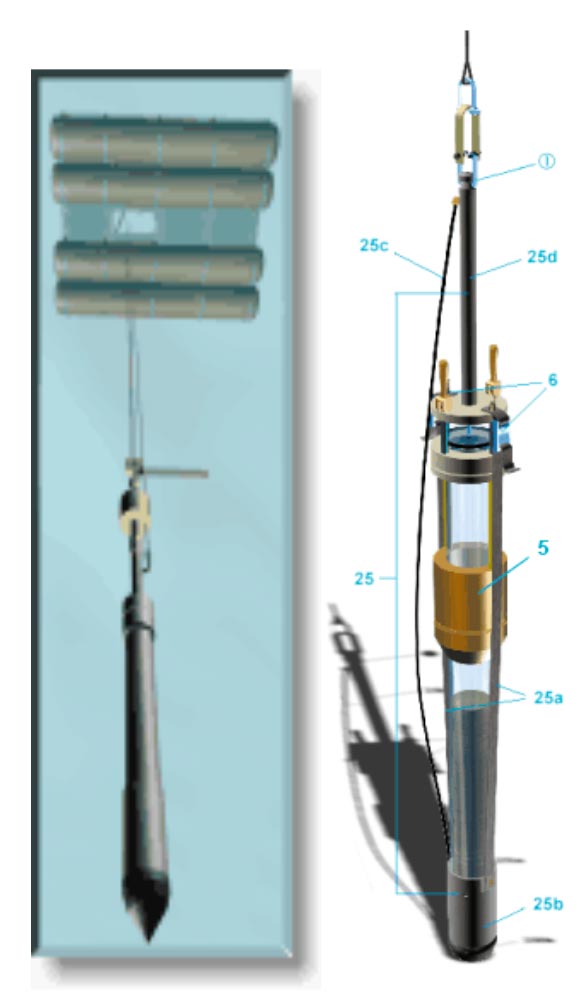
These images document the coring operations, the photo and the schematic representation of the piston corer used and manufactured by UWITEC.
Kulbe et al. 2004
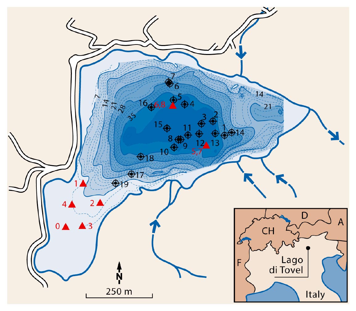
The image shows the map of the sediment sampling sites. The triangles indicate the sampling of 2001, the circles that of 2004.
Project realized by
Project supported by